The Routes of Northwest Santa Cruz Offer a Journey Within
In Patagonia+, we invite you to discover one of the most fascinating circuits in Argentina: the northwest of Santa Cruz, a region that combines breathtaking landscapes with ancient history and ancestral culture.
Machine translation.
Northwest Routes of Santa Cruz: Complete Guide to Patagonian Tourism
The northwest routes of Santa Cruz allow access to unique landscapes, histories, and cultures, providing the perfect environment for the -always necessary- journey within ourselves. We propose a guide to explore them among the endless skies, the plateau of Lake Buenos Aires, the infinite steppe, and the abundant wildlife that accompanies travelers.
At Patagonia+, we invite you to discover one of the most fascinating circuits in Argentina: the northwest of Santa Cruz, a region that combines overwhelmingly beautiful landscapes with ancient history and ancestral culture.
This Patagonian territory, crossed by legendary routes like the mythical Route 40, offers unique experiences for those seeking adventure, contemplation, and a deep connection with wild nature. From the remnants of ancient inhabitants to the most spectacular geological formations on the continent, every kilometer traveled is an invitation to rediscover the greatness of Argentine Patagonia.
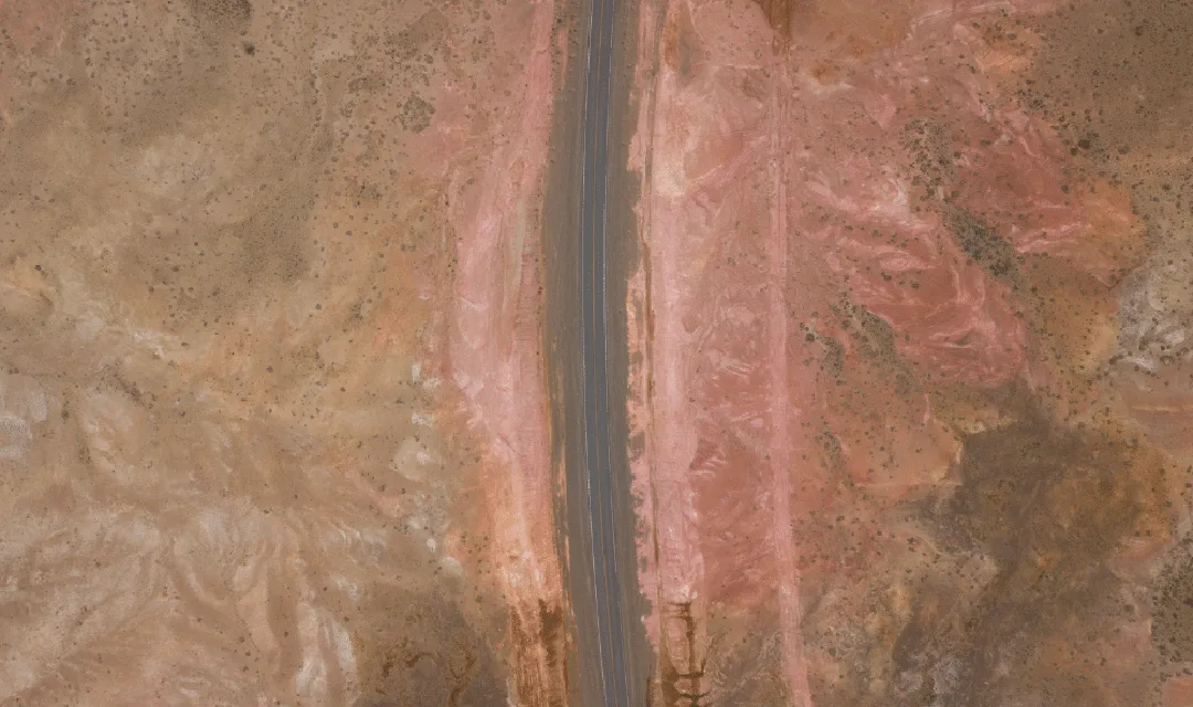
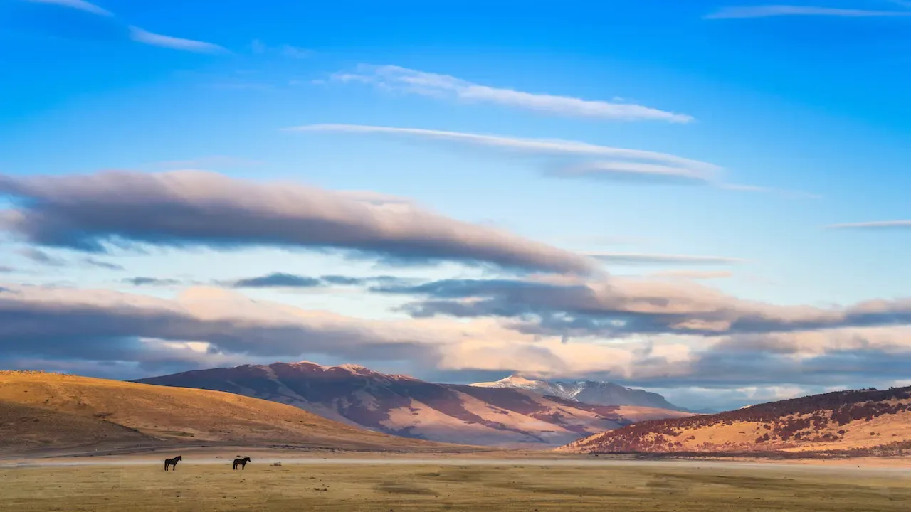
Route 40 Photo: Franco Bucci
Sites with fossils millions of years old, pictorial evidence of ancient inhabitants, towns that were protagonists of significant historical events or the more recent 'Patagonian Strikes'. All "woven together" by the northwest routes of Santa Cruz with a present that promotes the region as one of the new tourism destinations for its overwhelmingly beautiful landscape.
They are almost strategically arranged so that anyone traveling the northwest routes of Santa Cruz encounters a great variety of postcards that allow them to enjoy the experience of living the wild nature of the region: its endless skies, the plateau of Lake Buenos Aires, its infinite steppe, and the abundant wildlife that accompanies travelers.
Bajo Caracoles: Gateway to Patagonian Adventure
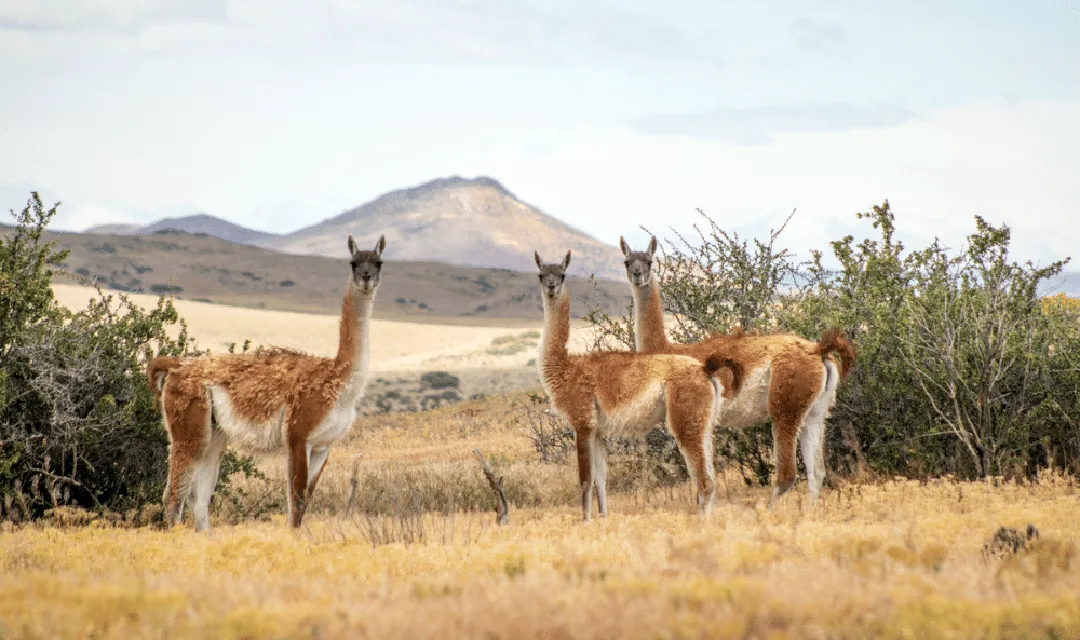
"Coming from the south, descending to the Bajo Caracoles area is spectacular. It is a large basin that once contained a glacial lake. The view encompasses the mountain range, Cerro San Lorenzo, and the high horizon of the Lake Buenos Aires Plateau," describes Guido Vittone, a mountain guide specialized in geology, glaciology, botany, and the history of the region. From 'Bajo Caracoles', the roads fork: to the west, towards Lake Posadas and the vastness of the steppe and to Paso Roballos, crossing into Patagonia National Park, with the mountain range always ahead, passing through 'Portal El Sauco' and the surprising intensely turquoise waters of Lake Ghio. Or, heading north on Route 40 to the town of Perito Moreno, one can choose to take RP 97 to Cueva de las Manos, which allows for views of Cerro Chato, Cerro Poivre, and large herds of Guanacos, Choiques, Condors, and Moras Eagles.
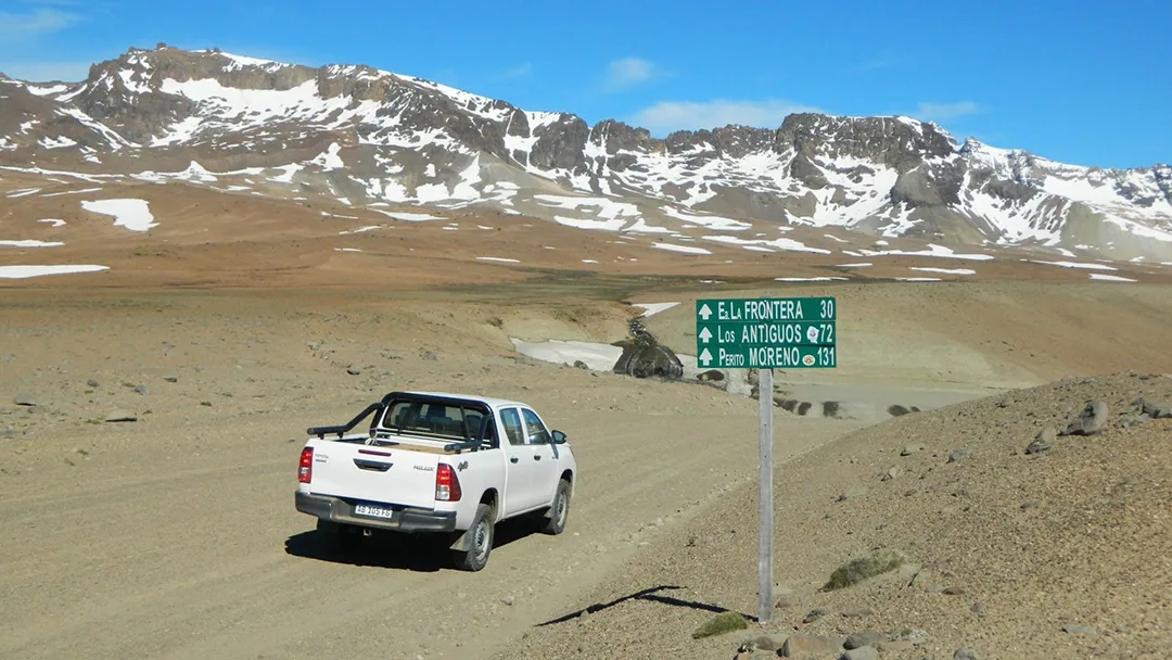
Photo: Guido Vittone
Perito Moreno: Heart of the Northwest Circuit
Coming from the north, just before Perito Moreno, the wind accompanies us -always- and Route 40, which at km 1251 becomes the main avenue of Perito Moreno, invites us to continue south, in a never-ending series of curves, climbs, and descents, among lands of multiple colors.
Scenic Route 43: Road to Lake Buenos Aires
From Perito Moreno to Los Antiguos, the scenic Route 43 is traveled, bordered by a striking line of large blocks and volcanic fragments. Around a bend, the immense Lake Buenos Aires suddenly appears, the second largest in South America. The road skirts the shore of the imposing water mirror and its huge waves that resemble the sea, with views of the Andes mountain range with its mountains and massifs of various shapes.
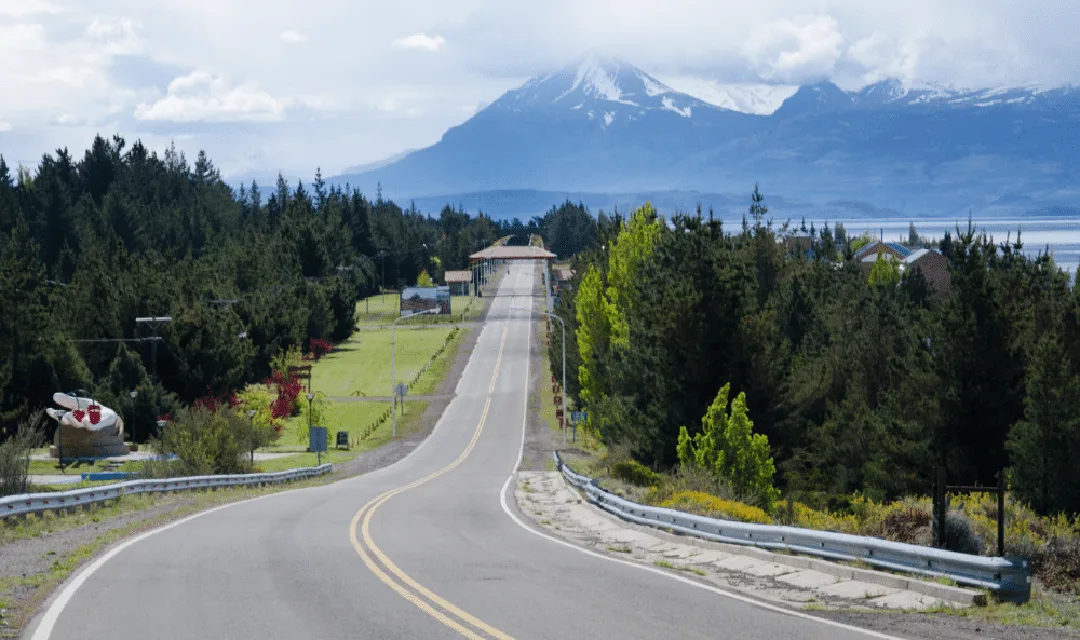
A few kilometers ahead, the constructions of a historic estate indicate that one has arrived at the "Portal La Ascensión" of the PNP. The guide states that "tours of the old estate, to the lake shore or walks on the trails to the plateau, attract more and more visitors." Just 20 km away is Los Antiguos, a quiet town on the shores of the great lake, where the poplar groves protect the productive farms from the wind.
Entrance Los Antiguos
RP 41 "Zeballos Road": Emblematic Route of the Region
In Los Antiguos, RP 41 begins, also known by locals as the "Zeballos Road." Heading south, bordering the border with Chile, the route climbs to 1500 meters above sea level and descends to Paso Roballos. This route connects the towns of Los Antiguos and Lake Posadas. Its 170 km journey crosses rivers, lakes, hills, forests, and steppe, offering countless incredible landscapes with whimsical volcanic formations and where many birds and Guanacos can be spotted, allowing for hikes or simply enjoying the journey. "It has been improved in recent years and features an audio guide that describes the most notable points. This road is becoming an emblem of the region," explains Vittone.
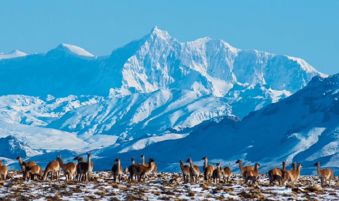
Route 41 Photo: Mauro-Prati
Border Crossings: Connection with Chile
The two border crossings in the region are options for extending the trip to the neighboring country. Paso Jeinimeni connects Los Antiguos with Chile Chico and allows access to the southern coast of Lake Buenos Aires, which in Chile is called Gral. Carrera, and invites visits to the imposing "Marble Chapels." The southern crossing via Paso Roballos connects with Patagonia National Park Chile. Its large mountains and flowing rivers of striking green and blue colors allow for enjoying nautical activities.
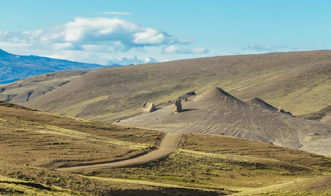
RP 41 Photo: Matias Rebak
"These roads preserve the spirit of Patagonia intact: vast distances where it is common to see native wildlife, the estancias, and the hospitality of its people." Vittone believes they offer much more: "These endless horizons invite a journey into ourselves."
Closing Reflection
The routes of northwestern Santa Cruz represent much more than simple asphalt and gravel roads. They are vital arteries that connect dreamlike landscapes, authentic communities, and transformative experiences that remain etched in the traveler's memory forever. At PatagoniaMas.com, we believe that every kilometer traveled in this region is a unique opportunity to rediscover the greatness of the area and the importance of preserving these natural treasures for future generations. Whether you seek adventure, contemplation, photography, or simply the pleasure of driving through some of the most spectacular landscapes in the world, northwestern Santa Cruz awaits you with open arms and infinite horizons. Your next great Patagonian adventure begins here!
Share
Rate this story
No ratings yet
0 comments
No comments yet. Be the first!
You may also like
 10 Days in Patagonia: The Ultimate Itinerary for Argentina & Chile
 Route 40 in Patagonia: The Complete Road Trip Guide (Road Conditions, Stops & Best Time to Go)
 Route of the 7 Lakes: Now the Walk of the 9 Lakes (Complete 2026 Guide)
 Destination Bariloche: Your Incredible Journey Starts Here!
 Puerto Madryn the Capital of Diving and Nautical Tourism in Argentina
 San Martín de los Andes - Tourism and Adventure in the Heart of the Andes
 When is the Best Time to Visit Patagonia?
 Explore Patagonia's Best National Parks